Yanbaru: Okinawa's Wild North by Car (Cape Hedo, ASMUI and the National Park)
A full day in Okinawa's far north by rental car: the forest of Yambaru National Park, the cliffs at Cape Hedo, the ASMUI limestone hike, and how to drive the forest roads without hurting the wildlife.
- Plan on
- a full day by car
- Drive
- about 2 to 2.5 hours from Naha Airport to ASMUI (official)
- ASMUI
- ¥2,500 adults, 9:30 am to 5:30 pm, last entry 4:00 pm (official)
- Drive slowly
- the flightless Okinawa rail crosses the roads on foot
- Best time
- December to April for the fewest typhoons

You drive past Nago and the towns thin out. The road follows the coast, and on your right the hills turn into an unbroken cover of dark, rounded subtropical forest. At the top of the island, Cape Hedo looks out over the Pacific on one side and the East China Sea on the other, and on a clear day you can pick out Yoron Island, already part of Kagoshima, on the horizon to the north (Japan Tourism Agency).
This is Yanbaru, the forested north of Okinawa Island. This guide covers what makes it special, whether it's worth a day of your trip, the main stops for a road trip, and the driving rules that protect its wildlife.
- Travelers on a 5- to 7-day trip who have a rental car
- Hikers and nature lovers
- Anyone staying in Motobu or Nago who wants to go further north
- Repeat visitors who have already seen the Churaumi Aquarium
- 2016Yambaru National Park established (September 15)
- 17,352 haArea of the national park (about 67 square miles)
- 2–2.5 hrNaha Airport to ASMUI by car
- ¥2,500ASMUI admission, adults (about $16)




As of November 2026, Ministry of the Environment, JNTO and ASMUI official sites
What Yanbaru is
A national park. Japan's Ministry of the Environment manages Yambaru National Park (the ministry spells it with an "m"). It was established on September 15, 2016, and covers 17,352 hectares, according to the Japan National Tourism Organization page the ministry links to. That page describes subtropical forest, mangroves, cliffs and limestone mountains.
A World Natural Heritage site. In July 2021, the northern part of Okinawa Island was inscribed on the World Heritage List together with Amami-Oshima Island, Tokunoshima Island and Iriomote Island, according to the Ministry of the Environment. The Okinawa part lies in three villages:
- Kunigami
- Ogimi
- Higashi
The ministry describes it as evergreen subtropical forest around Mount Yonaha (503 m) and Mount Nishime (420 m).
Rare animals. The ministry names the Okinawa rail and the Okinawa woodpecker among the area's rare or endemic animals. The Okinawa rail is a bird that can't fly, which matters when you drive (see below).
Is it worth a day?
If you have a car and at least five days in Okinawa, it's a good day for nature lovers. It's a long drive: ASMUI, near the northern tip, is about 2 to 2.5 hours from Naha Airport via the Okinawa Expressway and Route 58 (as of November 2026, official site). The return trip is just as long.
That makes it hard to fit around the Churaumi Aquarium on the same day. A better plan is to spend a night in Motobu or Nago and drive north from there. See our Churaumi and Motobu day trip for the peninsula and where to stay in Okinawa for a base in the north.
If you only have two or three days, or no car, skip Yanbaru this time.
Cape Hedo
Cape Hedo (Hedo Misaki) is the northernmost point of Okinawa Island, in Kunigami Village. The Japan Tourism Agency's description says the Pacific lies to the east and the East China Sea to the west, and that Yoron Island can be seen to the north in clear weather.
Hedo also has a place in Okinawan legend. In the story told there, a goddess shaped the Ryukyu Islands and began with the sacred mountain just inland, now called Asumui. ASMUI, the next stop, is on that mountain.
At the cape. The Hedo Misaki Tourist Information Center stands by the cape, with local produce and a café inside and an observation terrace on the third floor.
- Hours: 10:00 am to 5:00 pm, open every day of the year. The observation terrace closes at 4:45 pm.
- Parking: free.
- Restrooms: the village's digital map shows a public restroom at the cape.
- Getting there: the center's site puts it about 55 minutes on the Okinawa Expressway from Naha IC to Kyoda IC, then about 1 hour north on Route 58. Add the drive from the airport to Naha IC on local roads. (All as of November 2026, official site.)
ASMUI Spiritual Hikes (formerly Daisekirinzan)
ASMUI is a walking site among limestone rock formations on the slopes of Asumui, in Kunigami Village. Until December 28, 2024, it was called Daisekirinzan; older maps and guidebooks may still use that name (official notice). It's about 5 minutes by car from Cape Hedo, according to the official site.
Tickets. You can pay at the counter or buy in advance on the official booking site, which lists the same ¥2,500 adult ticket. E-tickets are swapped for paper tickets at the counter.
What to wear. The official FAQ recommends sneakers and warns against sandals and heels. Bring your own rain gear; the counter sells ponchos for ¥300. Phone signal is weak on the course, so download the audio guide before you start (all as of November 2026, official site).
Weather and access. The site stays open in rain but may close for a while during typhoons, lightning or very heavy rain. Wheelchairs can be borrowed for the barrier-free course and the museum. The other courses have steps, so they don't work with a stroller.
The forest: Ufugi Nature Museum
The forest itself is the main sight. To learn what lives in it before you hike, stop at the Yambaru World Heritage Conservation Center, also called the Ufugi Nature Museum, in the Hiji area of Kunigami Village. Its site shows the Ministry of the Environment's Yambaru ranger office as its contact, and puts it about 50 minutes from Kyoda IC by Route 58 (as of November 2026, official site).
- Hours: 10:00 am to 5:00 pm.
- Closed: Mondays; national holidays except May 4 and 5; December 29 to January 3; June 23.
- Admission: a ¥300 donation, junior high school age and up (about $2). (All as of November 2026, official site.)
For guided forest walks or night tours, see our guide to choosing a tour in Okinawa. We don't recommend any Yanbaru tour company yet.
Driving in Yanbaru: slow down for the wildlife
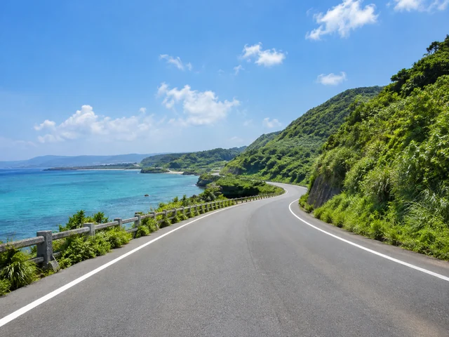
Why it matters. The Okinawa rail can't fly, so it crosses roads on foot, where cars can hit it. The Ministry of the Environment's Yambaru Wildlife Conservation Center says keeping your speed down is the most effective way to prevent these accidents. Its leaflet asks drivers to take the Yanbaru roads slowly and with time to spare.
Dawn, dusk and May. In a 2014 notice, the ministry asked drivers to take special care in the early morning and evening, when the Okinawa rail is most active, and to watch at night for the Ryukyu long-haired rat, a nocturnal animal that also runs into the road. A 2023 ministry post says about a quarter of each year's rail road accidents happen in May, mostly on Prefectural Road 2 across the forest and Prefectural Road 70 along the east coast. That's one more reason to head back south before dark.
It still happens. The Ufugi Nature Museum posts a monthly count of animals hit on the roads. Its 2026 table runs from January through October (as of November 2026, official site).
If you find an injured or dead animal. For the Okinawa rail and other endangered animals, the conservation center's page lists these contacts:
- Yambaru Ranger Office: +81-980-50-1025
- Kuina Dial (Okinawa Wildlife Federation, rescue only): 090-6857-8917
- Road Emergency Hotline: #9910, if a dead animal is blocking traffic
Don't touch the animal with bare hands. Note the time and place, and take a photo from a distance and one up close (all as of November 2026, official site).
The usual rules apply. Japan drives on the left, and you need an International Driving Permit along with your US license. Our guide to renting a car in Okinawa covers the permit, tolls and road signs.
A sample day from Motobu or Nago
This is our own plan, built from the official opening hours. The only official drive times we found are about 50 minutes from Kyoda IC to the Ufugi Nature Museum and about 1 hour from Kyoda IC to Cape Hedo (each from that place's own site), plus 5 minutes from Cape Hedo to ASMUI. We couldn't find an official time from the museum to ASMUI, so check it on your navigation the night before (as of November 2026, official sites).
- Early morningLeave Motobu or Nago and drive north along the coast.
- 10:00 amUfugi Nature Museum opens (closed Mondays).
- Late morningDrive on to ASMUI (last entry 4:00 pm). Give it 90 to 150 minutes.
- AfternoonCape Hedo, about 5 minutes from ASMUI.
- Late afternoonDrive back south, slowly, before it gets dark.
As of November 2026, ASMUI and Ufugi Nature Museum official sites
Pack water and snacks before you head north, and fill up on gas in Nago or earlier. We haven't confirmed how many gas stations and shops there are up north, so it's safer not to count on them.
Without a car
Yanbaru is hard to visit without a car, and this guide is written for a day by car. See Okinawa without a car for what works by bus.
When to go
Yanbaru is outdoors, so the season matters more than in Naha.
- December to April: the fewest typhoons (Japan Meteorological Agency normals), and cooler weather for walking.
- Rainy season: usually from around May 10 to around June 21. Trails get wet, and ASMUI may close for a while in very heavy rain.
- Summer: hot and humid. Start early and carry water.
- Typhoon season: typhoons come closest most often in August and September. Don't drive north when one is near, and check the Japan Meteorological Agency before you go. If the weather turns, see our rainy-day ideas.
| Jan | Feb | Mar | Apr | May | Jun | Jul | Aug | Sep | Oct | Nov | Dec | |
|---|---|---|---|---|---|---|---|---|---|---|---|---|
| Avg high | 68°20°C | 68°20°C | 71°22°C | 76°24°C | 81°27°C | 86°30°C | 89°32°C | 89°32°C | 87°31°C | 83°28°C | 77°25°C | 71°22°C |
| Avg low | 59°15°C | 59°15°C | 62°17°C | 66°19°C | 72°22°C | 77°25°C | 81°27°C | 80°27°C | 78°26°C | 74°24°C | 69°20°C | 62°17°C |
| Rain | 4.0"102mm | 4.5"114mm | 5.6"143mm | 6.3"161mm | 9.7"245mm | 11.2"284mm | 7.4"188mm | 9.4"240mm | 10.8"275mm | 7.1"179mm | 4.7"119mm | 4.3"110mm |
| Typhoons | – | – | – | – | 0.4 | 0.6 | 1.5 | 2.2 | 1.9 | 1.1 | 0.3 | – |
| Rainy season | ● | ● | ||||||||||
| Box jellyfish | ● | ● | ● | ● | ||||||||
| Golden Kings | ● | ● | ● | ● | ● | ● | ● | ● |
- Typhoons: about 7.7 a year come near Okinawa, most in August and September. Flights and ferries can stop for a day or two — keep your plans flexible in late summer.
- Rainy season: around May 10 to around June 21 in a typical year.
- Swimming: Swim at managed beaches during their swimming season, when lifeguards keep watch and nets are set against box jellyfish. Many beaches have neither. Check the beach's official page before you go.
- Box jellyfish: advisory June 1 – September 30 (2026); most stings June to September; swim inside the nets and cover your legs.
- Basketball: B.LEAGUE season runs fall to spring, with playoffs in May.
- The nonstop: United's SFO–Naha nonstop starts March 27, 2027, three times a week. Some reports say it is seasonal; that is not confirmed yet.
Climate: Japan Meteorological Agency, Naha climate normals 1991–2020. Typhoons: JMA normals. Jellyfish: Okinawa Prefecture, box jellyfish advisory. Checked 2026-10-10.
Dollar figures on this page use ¥157.81 per $1 (as of October 2, 2026, Federal Reserve).
Official info

- Yambaru National Park — Ministry of the Environment
- Amami-Oshima, Tokunoshima, northern Okinawa Island and Iriomote — Ministry of the Environment
- ASMUI Spiritual Hikes — official site
- Ufugi Nature Museum — official site
Planning the rest of the trip:
- Our 7-day Okinawa itinerary has room for a day in the north.
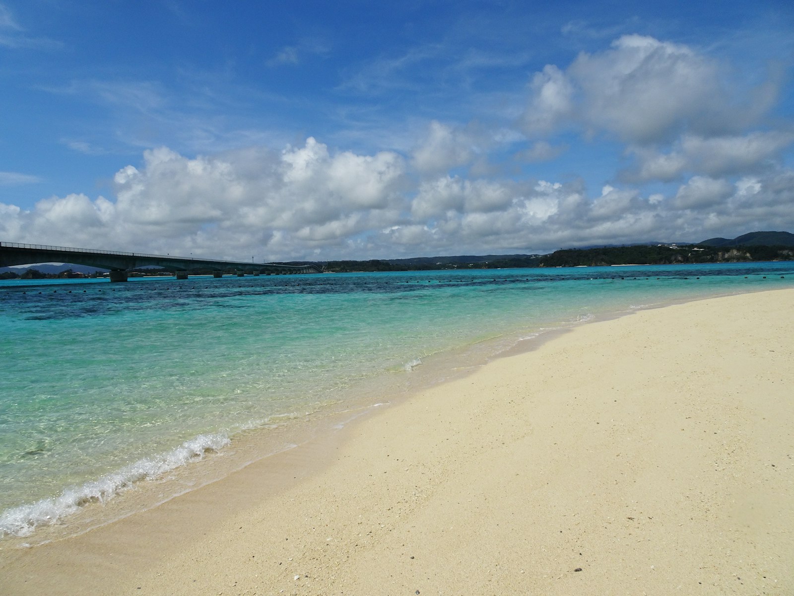
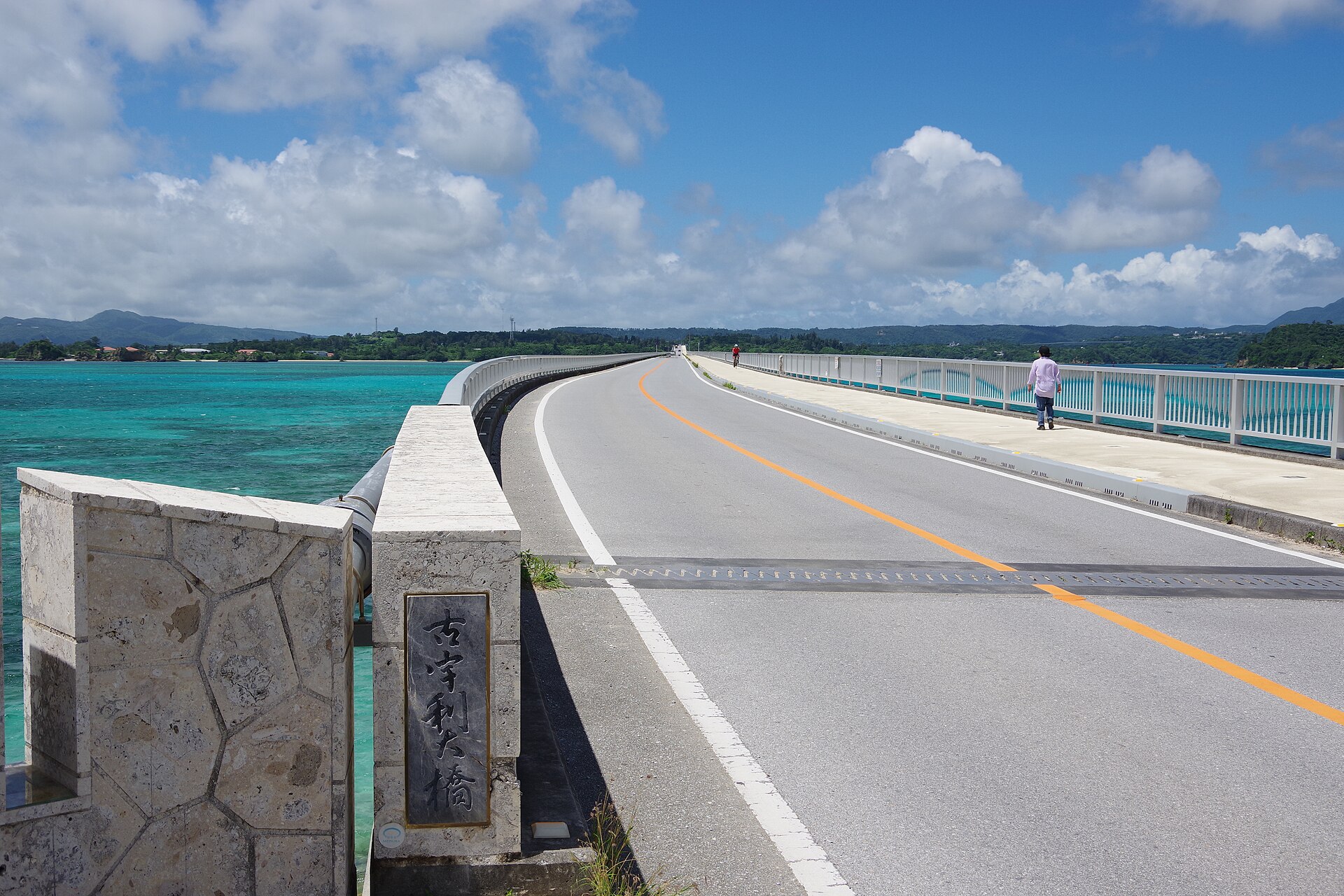
- On the way up, Kouri Island is an easy stop.
Sources
- Ministry of the Environment — Yambaru National Park
- Japan National Tourism Organization — Yambaru National Park (linked from the Ministry of the Environment page)
- Ministry of the Environment, Kyushu Regional Environment Office — Amami-Oshima Island, Tokunoshima Island, Northern part of Okinawa Island, and Iriomote Island: history of the World Heritage inscription
- Ministry of the Environment, Kyushu Regional Environment Office — Heritage area
- ASMUI Spiritual Hikes — official site (English)
- ASMUI Spiritual Hikes — basic information (English)
- ASMUI Spiritual Hikes — FAQ (English)
- ASMUI Spiritual Hikes — news (Japanese)
- ASMUI Spiritual Hikes — official ticket booking
- ASMUI — notice of the name change from Daisekirinzan (Japanese)
- Japan Tourism Agency — multilingual explanation of Cape Hedo (Japanese PDF)
- Yambaru World Heritage Conservation Center (Ufugi Nature Museum) — official site (English)
- Yambaru World Heritage Conservation Center — roadkill information (English)
- Yambaru World Heritage Conservation Center — injured or dead wild animals (English)
- Ministry of the Environment, Yambaru Wildlife Conservation Center — Okinawa rail traffic accident leaflet (Japanese PDF)
- Kunigami Village — digital map (English)
- Hedo Misaki Tourist Information Center — official site (Japanese)
- Hedo Misaki Tourist Information Center — access (Japanese)
- Ministry of the Environment, Naha Nature Conservation Office — notice on Okinawa rail road accidents, October 17, 2014 (Japanese)
- Ministry of the Environment, Kyushu Regional Environment Office — May is "Stop! Roadkill" month for the Okinawa rail, May 26, 2023 (Japanese)
- Japan Meteorological Agency — typhoon normals, approaches to the Okinawa region 1991–2020 (Japanese)
- Japan Meteorological Agency — rainy season start and end, with normals (Japanese)
- Japan Meteorological Agency (English)
- Federal Reserve H.10 via FRED — USD/JPY